BATHYMETRY SURVEY
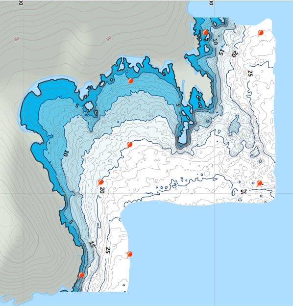
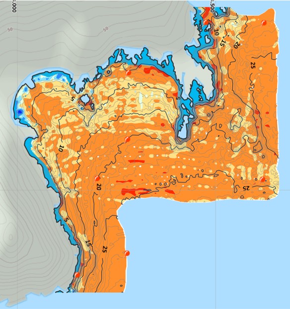
Bathymetry is the study and measurement of underwater terrain and topographic features to analyse oceans, rivers, lakes, reservoirs, and other bodies of water. The main purpose is to accurately map the depth and shape of submerged surfaces, creating detailed bathymetric charts that reveal underwater contours, slopes, and elevation changes.
The information obtained from a bathymetric survey is for a wide range of applications, including:
- safe navigation for marine and river vessels
- planning and development of coastal and offshore infrastructure
- dredging operations
- environmental monitoring
- sedimentation studies
- resource exploration
- flood risk analysis
- design of hydraulic structures such as dams, bridges, and ports
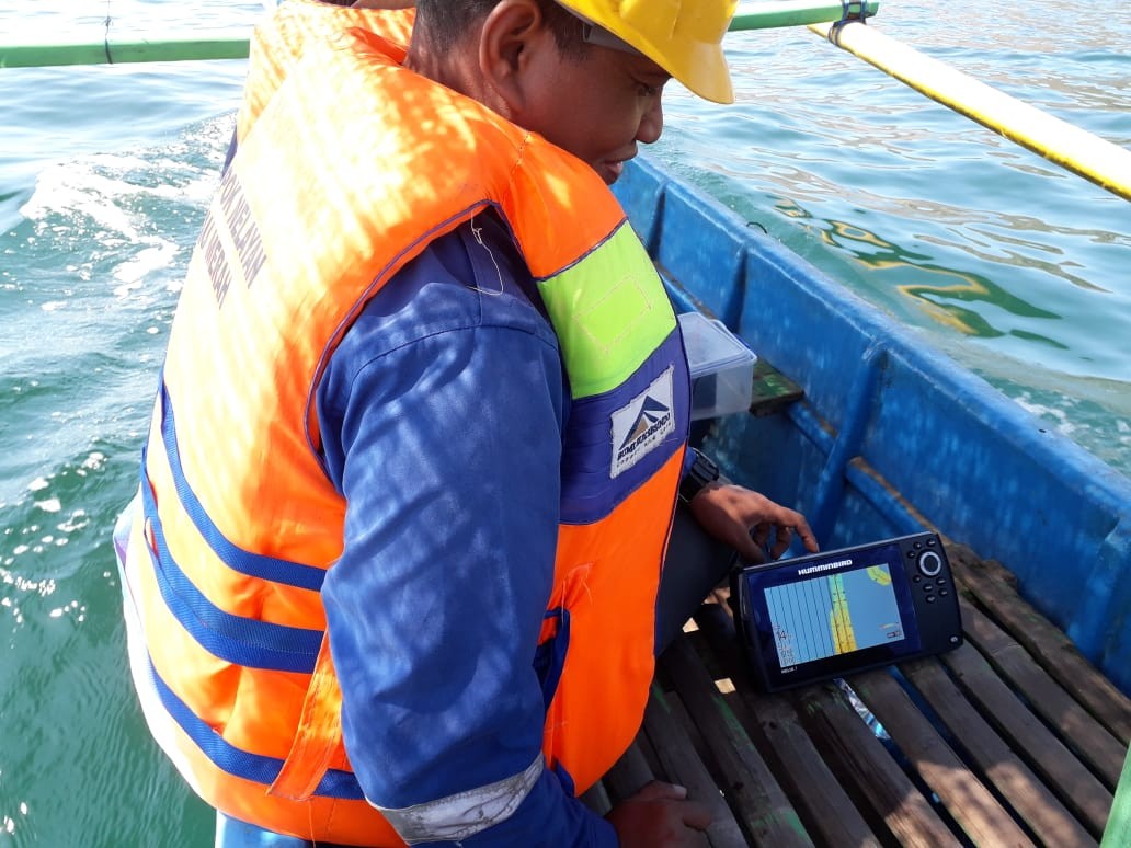
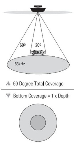
Our bathymetry survey system integrates high-precision GPS (Global Positioning System) and Sonar (Sound Navigation and Ranging) technologies. The sonar emits sound waves from a transducer toward the waterbed, and the returning echoes are measured to calculate depth. Combined with GPS positioning, we are able to generate accurate three-dimensional models of underwater surfaces with precise spatial references.
Through careful planning and execution, we deliver reliable bathymetric data that support engineering decision-making, environmental sustainability, and safe waterway operations.
Download our brochures:
Key Specification
Key Points
- This work uses sonar and GPS to measure depths.
- Integration of collected data into detailed maps.
Processs
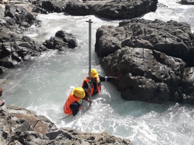
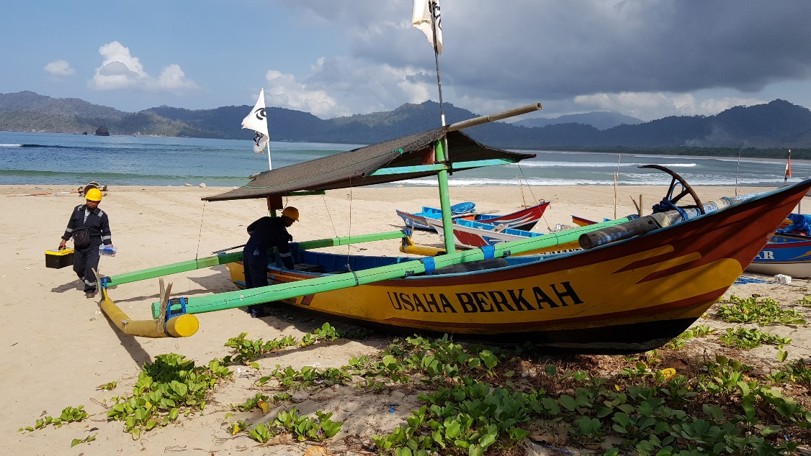
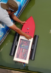
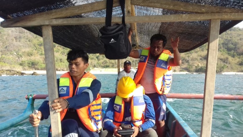
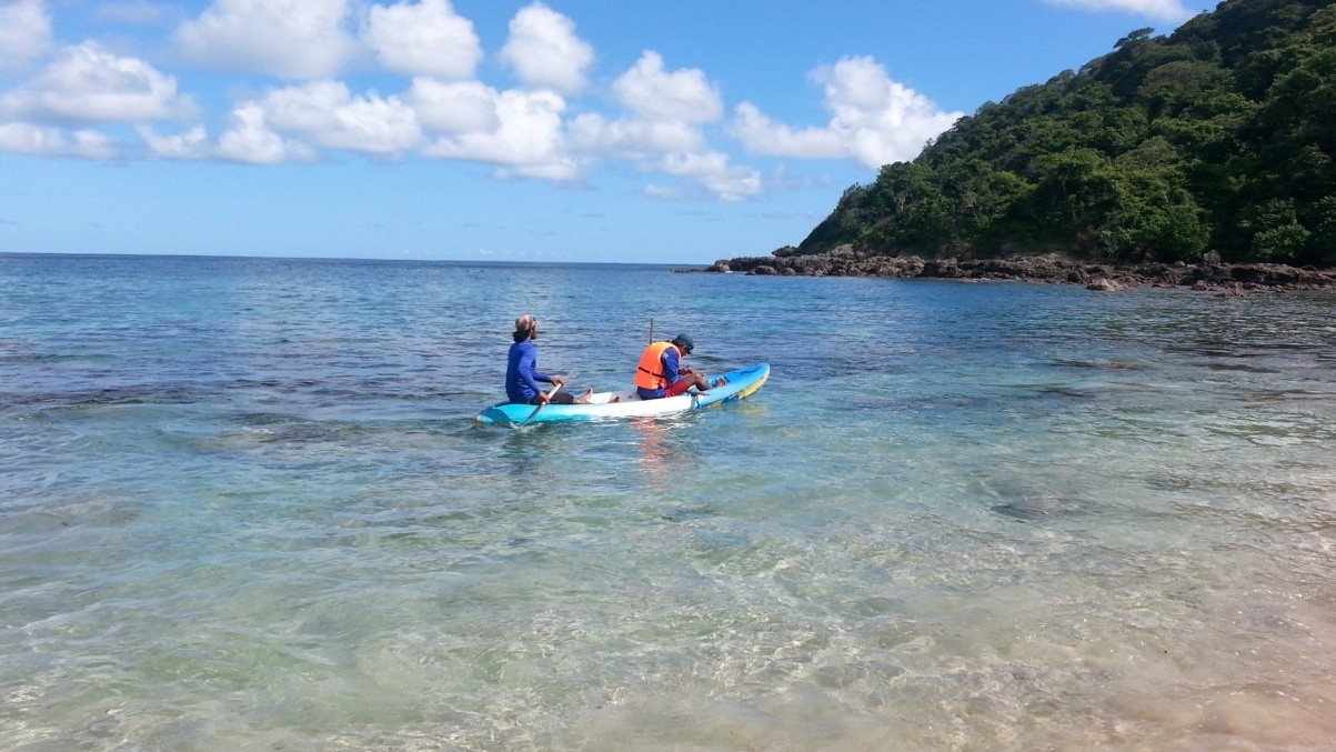
- Boat mounted with sonar scans underwater, manned or unmanned.
- Data aprocessing using a computer software.
Precision
- Horizontal accuracy: ~8mm using DGPS
- Depth accuracy: ~15mm with tide calibration
Advantages
- Real-time depth mapping.
- Side-imaging sonar for detailed underwater structures.
Examples
Our Projects
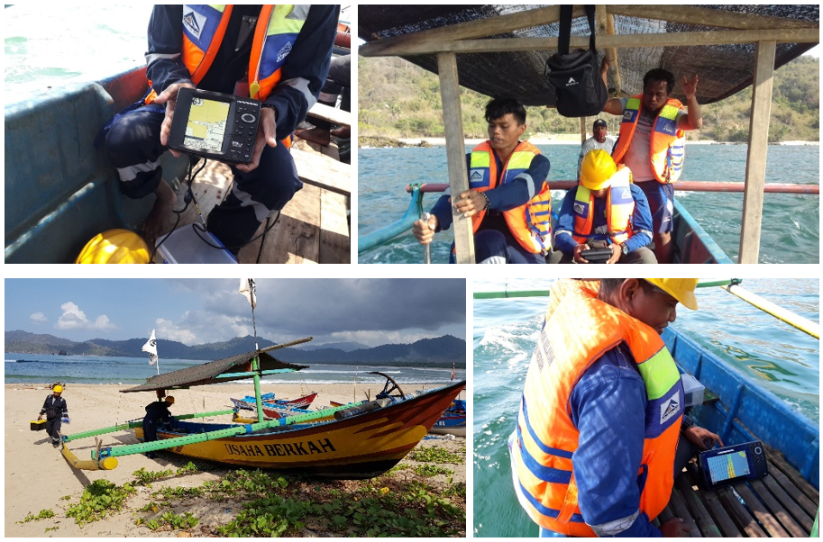
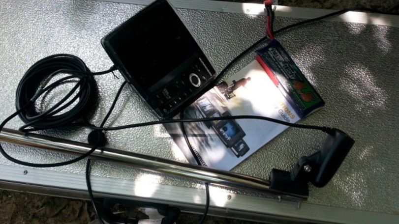
Bathymetry Equipment