TOPOGRAPHY SURVEY
A topography survey is a work to gain detailed mapping of the natural and man-made features of a specific area of land. It provides accurate data on the land's contours, elevation, slopes, and boundaries for roads, buildings, vegetation, water bodies, and other infrastructural elements.
A topography survey helps establish the optimal plan, document existing features in the area, assess potential environmental impacts, identify areas for land acquisition, estimate project costs, and guide the overall design process.
Download our brochures:
Applications and Benefits
Applications
- Land Development: Planning construction projects such as roads, buildings, and bridges.
- Infrastructure Design: Designing drainage systems, pipelines, and utility networks.
- Boundary Marking: Identifying property lines and legal boundaries.
- Flood Risk Assessment: Evaluating elevation data for flood management.
- Landscaping: Assisting in landscape architecture and site design.
- Mining and Quarrying: Determining terrain contours for excavation planning.
- Environmental Studies: Mapping natural features for conservation and restoration projects.
Benefits
- Accurate Planning: Provides precise elevation and terrain data to inform designs.
- Cost Efficiency: Reduces the risk of costly errors or rework by identifying site challenges early.
- Regulatory Compliance: Ensures projects meet local building and environmental regulations.
- Risk Mitigation: Identifies potential issues like slope instability or flood-prone areas.
- Project Feasibility: Assesses site suitability for proposed developments.
- Improved Communication: Facilitates clear communication among stakeholders using detailed maps.
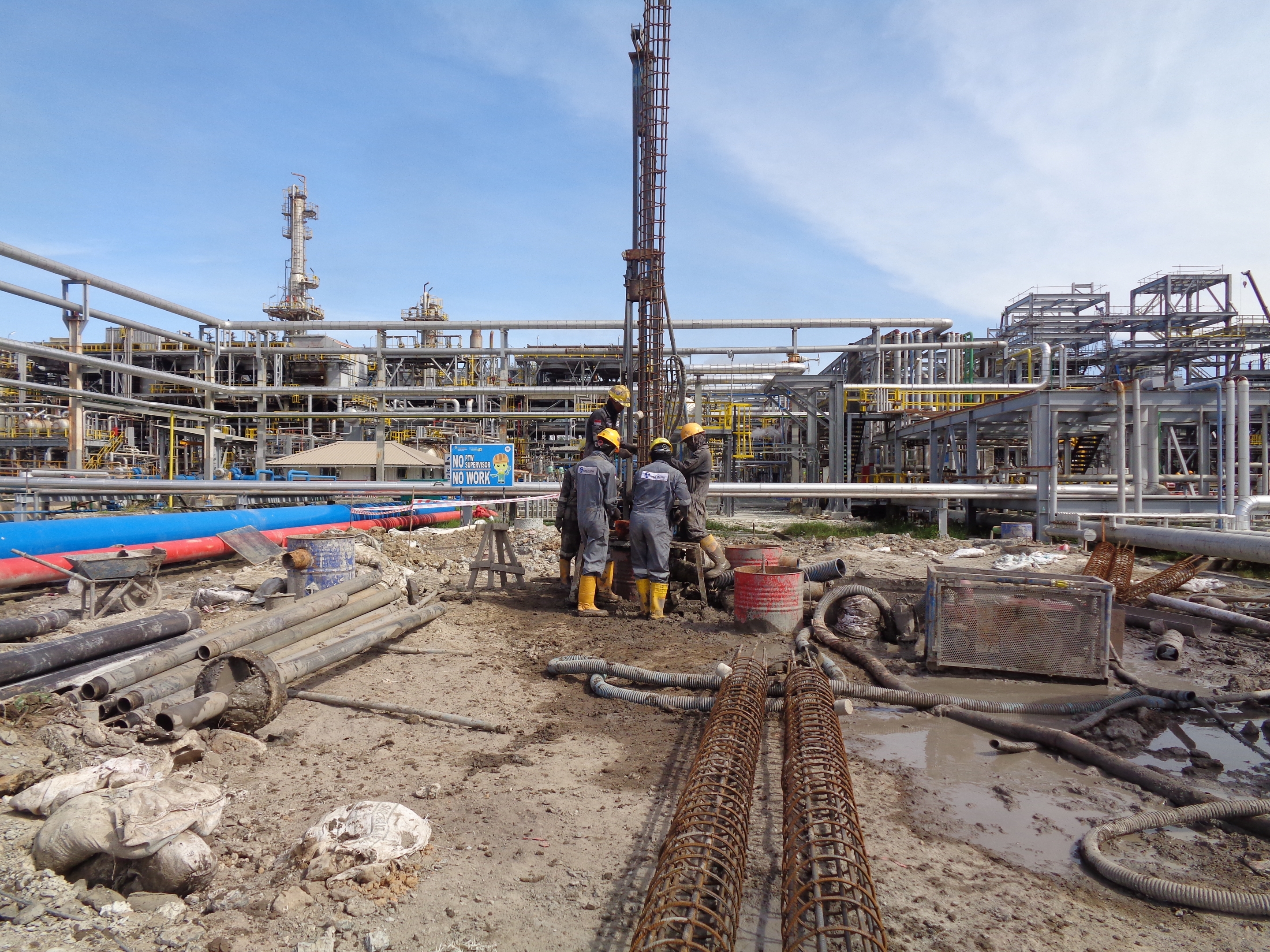
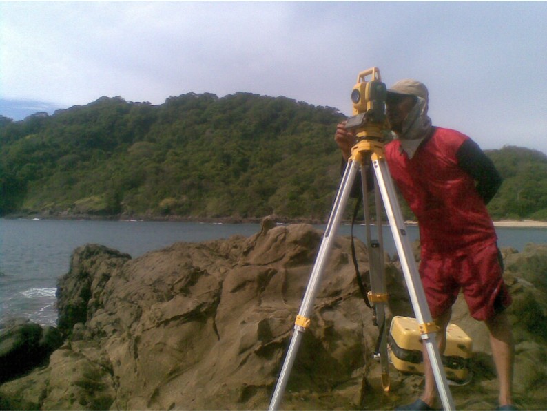
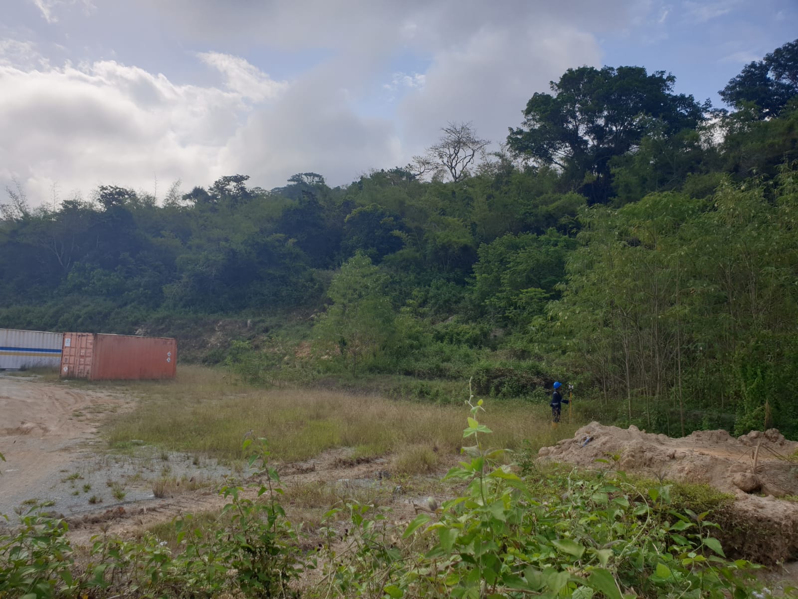
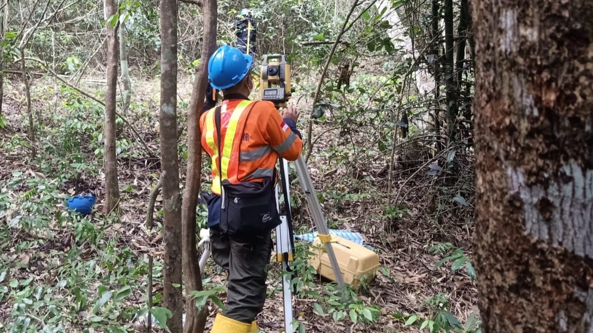
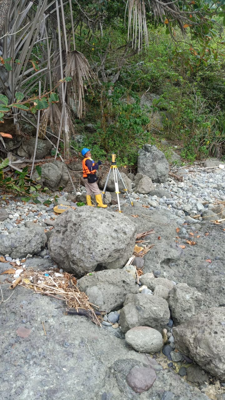
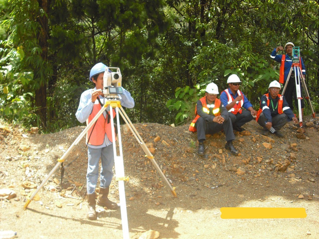
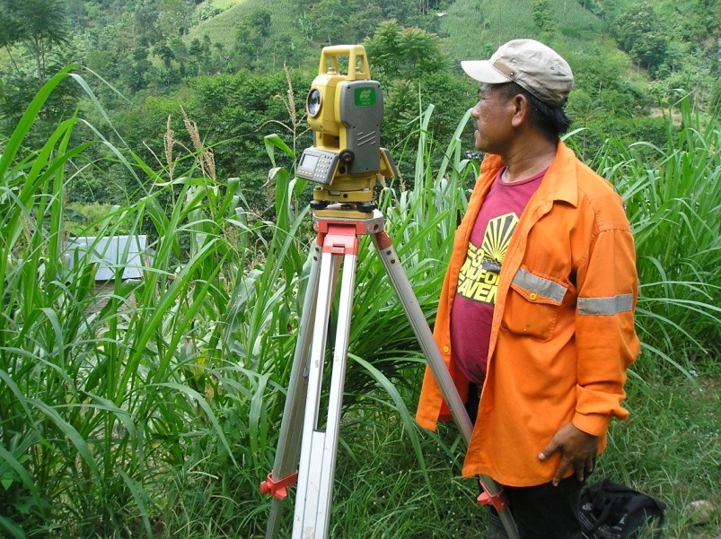
Our Projects
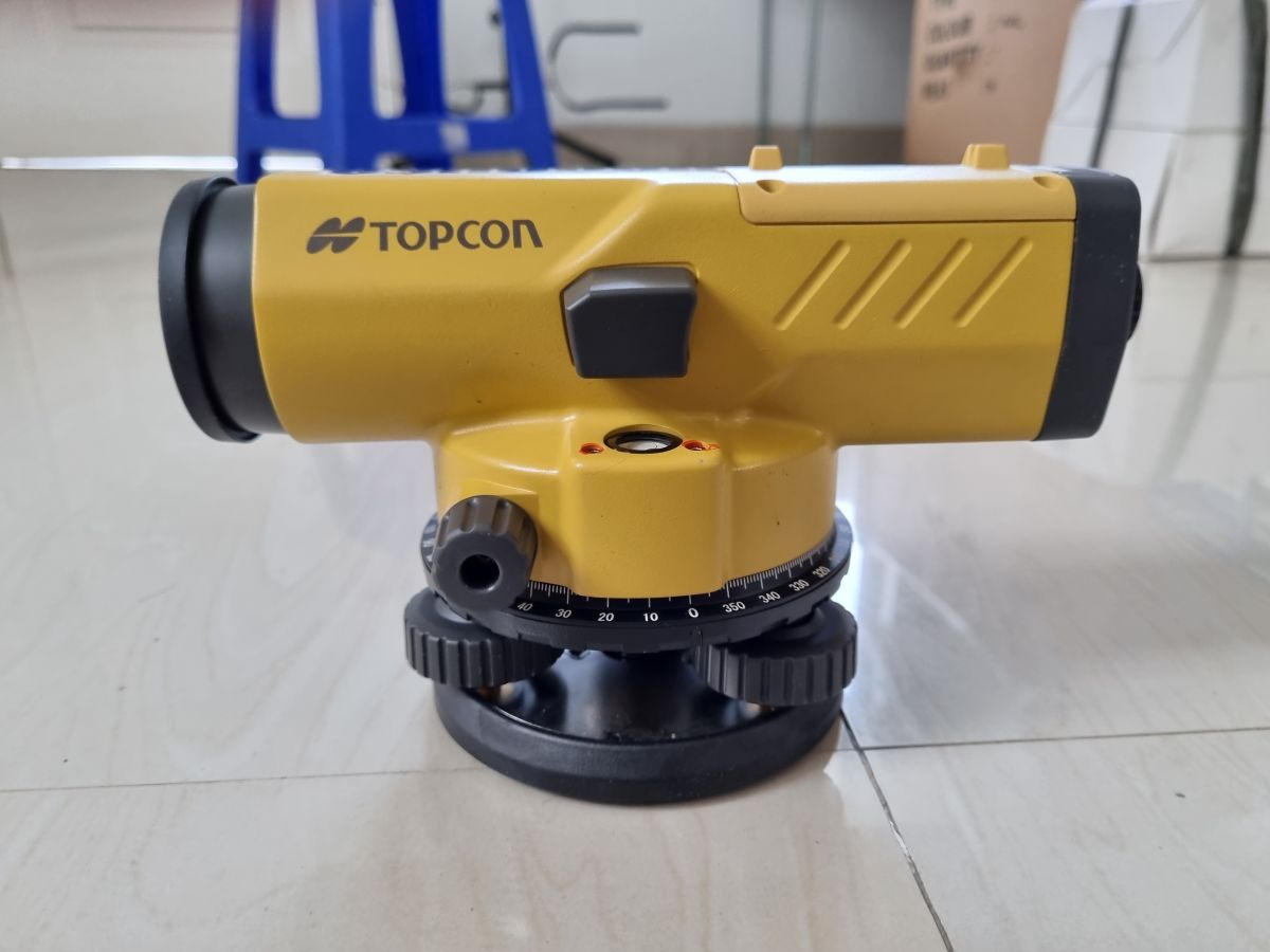
Topography Survey Equipment